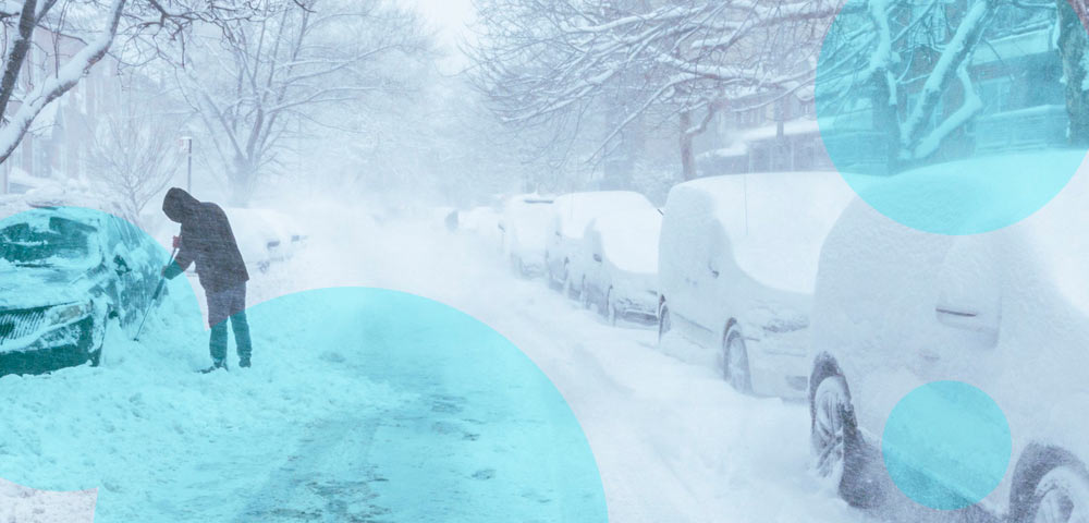
A powerful winter storm is bringing heavy snow, strong winds and freezing rain to several parts of Alaska on November 9–10, prompting the National Weather Service (NWS) to issue winter storm warnings and weather advisories.
The system moving through the Gulf of Alaska is expected to affect Southeast and Southcentral Alaska, including the Haines Borough, Anchorage, Kenai Peninsula and Matanuska-Susitna Valley.
- A powerful storm moving through the Gulf of Alaska could bring up to 12 inches of snow to parts of Southeast Alaska, with the heaviest accumulation expected along the Haines Highway.
- Anchorage, the Kenai Peninsula and Matanuska Valley face snow, freezing rain and wind gusts reaching 50–65 mph through Tuesday, November 10.
- The National Weather Service warns of hazardous travel, icy roads and possible power outages, particularly during Monday evening and Tuesday morning commutes.
Snowfall could reach 12 inches in higher elevations, while wind gusts of 60–65 mph are possible in exposed areas. Forecasters also warn that changing temperatures could turn snow into freezing rain, creating dangerous road conditions.
Alaska Winter Storm Warning: Where Will the Most Snow Fall?
The NWS Juneau office issued a winter storm warning for the upper elevations of the Haines Highway near the Canadian border, where snowfall accumulations of 8–12 inches are possible. The warning remains in effect until 6 p.m. Alaska time on Monday, November 9.
Snow levels are expected to rise from approximately 500 feet to 2,000 feet during the day, potentially reducing snowfall at lower elevations while maintaining hazardous conditions along mountain roads.
The Klondike Highway near White Pass is also under a winter weather advisory, with 5–8 inches of snow possible.
The storm will bring significant precipitation to Southeast Alaska, although strong southeasterly winds could shield some locations from the heaviest snowfall.
Anchorage and Kenai Peninsula Face Snow, Ice and Strong Winds
Southcentral Alaska is expected to experience a combination of snowfall, freezing rain and gusty winds through Tuesday.
In Anchorage, the Matanuska Valley and surrounding areas, precipitation is expected to begin as snow before transitioning to a wintry mix.
The Anchorage Hillside and Upper Eagle River could receive 2–8 inches of snow, with winds gusting to 60 mph in exposed locations.
Lower elevations of Anchorage and the Matanuska Valley could see lighter snowfall, generally up to 3 inches, followed by ice accumulation.
Across the Kenai Peninsula, snowfall forecasts range from 1 to 8 inches in several western communities, while parts of the interior Kenai Peninsula and Turnagain Pass could receive 3–10 inches.
The timing of the transition from snow to freezing rain remains uncertain. A later changeover could produce higher snowfall totals. Strong winds are also expected around Seward, Whittier and Turnagain Arm, with gusts potentially reaching 55–65 mph.
Alaska Snowfall Forecast for November
| Region | Expected snowfall | Additional hazards |
|---|---|---|
| Haines Highway | 8–12 inches | Difficult mountain travel |
| Klondike Highway, White Pass | 5–8 inches | Snow-covered roads |
| Anchorage Hillside, Upper Eagle River | 2–8 inches | Winds up to 60 mph, freezing rain |
| Anchorage Bowl, Lower Matanuska Valley | Up to 3 inches | Ice accumulation, gusts up to 50 mph |
| Western Kenai Peninsula | 1–8 inches | Up to 0.1 inch of ice, gusts to 45 mph |
| Interior Kenai Peninsula, Turnagain Pass | 3–10 inches | Hazardous mountain travel |
| Arctic Coast | Up to 3 inches | Winds up to 50 mph |
Winter Weather Alerts Raise Travel and Power Outage Concerns
The National Weather Service warns that hazardous conditions could affect both the Monday evening and Tuesday morning commutes.
Bridges and overpasses are particularly vulnerable to freezing because cold air circulates above and beneath their surfaces, allowing ice to form before nearby roads freeze.
Snow and ice could also reduce visibility, while strong winds may damage trees and power lines.
Matanuska Electric Association has warned customers about possible outages as the storm approaches.
Motorists traveling through affected areas are advised to carry emergency supplies, including food, water and a flashlight.
Forecasters expect winds to gradually weaken Tuesday, although snow and freezing rain could continue in some locations.
The greatest uncertainty concerns the timing of the transition from snow to rain. Areas that remain below freezing longer than expected could receive more snow or experience greater ice accumulation.