- El Niño increases flooding risks across the southern US
- California faces elevated flood and coastal erosion risks
- Northern US and Canada could experience warmer, drier winters
- El Niño brings mixed prospects for snowfall in winter 2026-27
- Could El Niño disrupt the polar vortex and trigger winter cold outbreaks?
The strengthening El Niño is expected to influence winter weather across the United States and Canada in 2026-27, increasing the likelihood of heavy rainfall and flooding in southern regions while bringing warmer, drier conditions to parts of the north.
Long-range forecasts from the US National Weather Service (NWS) indicate an increased probability of above-average precipitation across the southern US, particularly in the southeast. California also faces heightened flood and mudslide risks, while western and central Canada and parts of the northern US could experience an unusually mild winter.
- Southern US states, including Florida, Georgia and the Carolinas, face an increased likelihood of heavy winter rainfall, while California could experience flooding and coastal erosion.
- Northern US states and much of western and central Canada are more likely to experience warmer, drier conditions, potentially reducing snowfall and increasing subsequent drought risks.
- El Niño may increase the probability of polar vortex disruptions and late-winter cold outbreaks, although the connection remains uncertain.
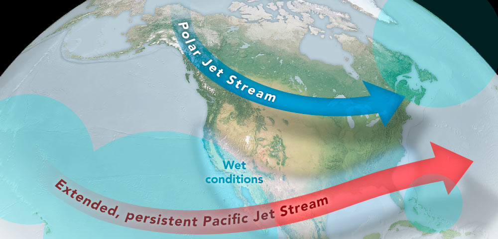
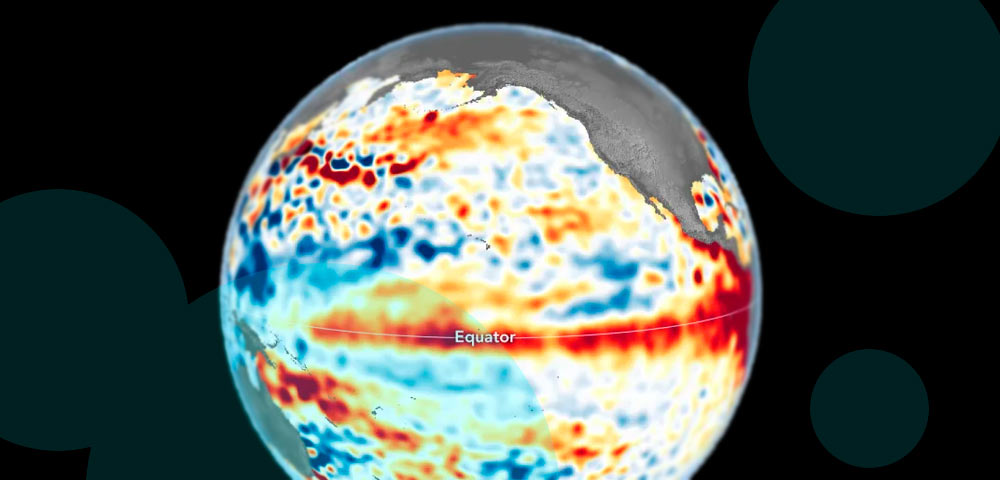
El Niño develops when Pacific trade winds weaken or reverse, allowing warm ocean water to spread eastward. The resulting release of heat into the atmosphere can alter global circulation patterns, including the position and strength of the Pacific jet stream.
El Niño increases flooding risks across the southern US
The eastward movement of warm Pacific Ocean water can push the Pacific jet stream farther south and extend it toward North America, directing moisture-bearing storms across the southern United States.
This atmospheric pattern typically increases winter precipitation across the region, although the severity and distribution of rainfall vary considerably between individual El Niño events.
The latest NWS seasonal forecast indicates that Florida, Georgia and the Carolinas have some of the highest probabilities of above-average rainfall during winter 2026-27.
Historical El Niño episodes demonstrate the potential consequences of these changes.
The powerful 1997-98 event produced significant flooding across the southeastern US and contributed to weather conditions associated with tornadoes in Florida.
Increased precipitation can also affect the timing and intensity of winter storms, with the southern position of the jet stream encouraging weather systems to cross areas that might otherwise experience drier winter conditions.
El Niño raises the probability of wetter winters across the southern US, but it does not establish where flooding will occur or how severe individual storms will become.
The forecast describes a shift in weather probabilities rather than a guarantee that every southern state will experience excessive rainfall.
California faces elevated flood and coastal erosion risks
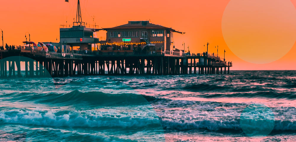
California is among the regions facing an increased likelihood of a wet winter as El Niño conditions strengthen.
Governor Gavin Newsom declared a state of emergency in September 2026 in preparation for anticipated flooding and mudslides.
Areas affected by recent wildfires are particularly vulnerable because damaged vegetation and altered soil conditions can increase the risk of runoff and debris flows during intense rainfall.
Climate change can further influence the severity of these hazards.
California’s preparations for winter 2026-27 include a state of emergency declared ahead of potential flooding and mudslides, with wildfire-damaged areas facing particular exposure.
Previous El Niño winters have frequently brought substantial rainfall to California. The 2023-24 winter, for example, delivered precipitation that helped relieve drought conditions.
The relationship is not consistent, however. Despite the strength of the 2015-16 El Niño, California recorded below-average rainfall that winter.
Coastal communities face an additional concern from ocean processes associated with El Niño. When warm water moves eastward across the Pacific, it can generate Kelvin waves that reach the western coast of the Americas. The displaced water then spreads along the coastline over weeks or months, temporarily raising sea levels.
El Niño-related Kelvin waves can raise coastal sea levels by 15 cm (6 inches) or more, increasing exposure to large waves, coastal flooding and erosion.
These temporary changes can compound the effects of storms and high surf, particularly along vulnerable coastal areas.
Northern US and Canada could experience warmer, drier winters
The altered Pacific jet stream generally favors milder winter conditions across the northwestern United States, Northern Plains and Ohio Valley, as well as western and central Canada.
Temperatures in these regions are more likely to remain above average, while precipitation may fall below normal seasonal levels. This pattern can reduce the immediate threat of winter flooding but may create other problems.
Lower rainfall and snowfall can leave groundwater supplies and river levels below normal, increasing the potential for drought and wildfire conditions during the following spring and summer.
Winter sports destinations may also be affected by reduced snow accumulation.
Seasonal forecasts favor warmer and drier conditions across parts of the northern US and Canada, potentially affecting water supplies, snowpack and ski resorts.
The expected pattern is consistent with many previous El Niño winters, although historical exceptions are important.
During the winters of 1982-83 and 2015-16, the northwestern United States experienced wetter-than-normal conditions despite strong El Niño influences.
Such variations reflect the interaction of El Niño with other atmospheric systems that can change the location and intensity of winter storms.
A warm, dry winter is more likely than usual across much of northern North America, but strong El Niño events have also produced unusually wet conditions in the region.
The potential consequences extend beyond winter weather, particularly where reduced precipitation limits water availability before the warmer months.
El Niño brings mixed prospects for snowfall in winter 2026-27
Snowfall patterns during El Niño winters differ considerably across North America.
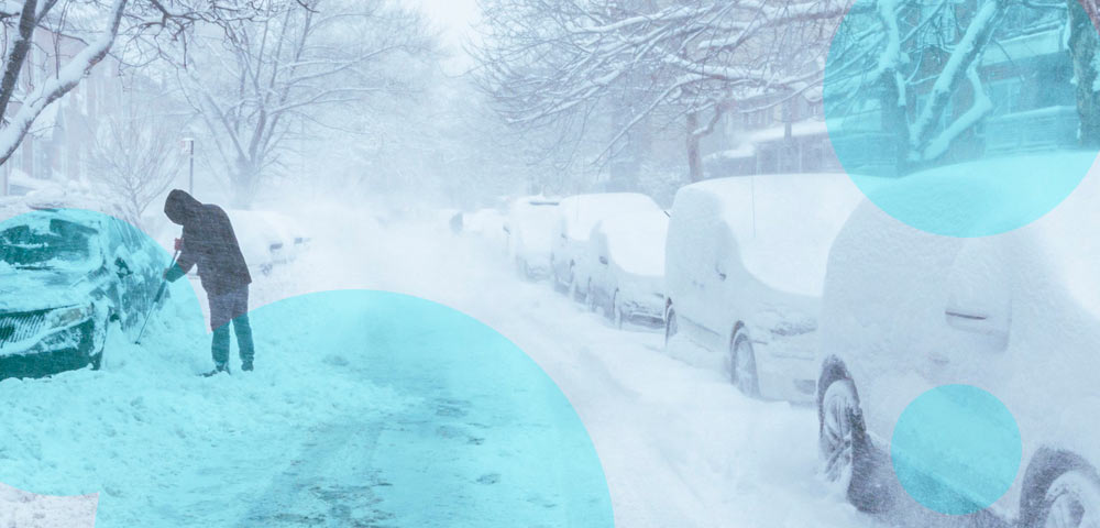
The greater likelihood of mild, dry weather across northern areas generally reduces the probability of substantial snow accumulation.
Farther south, increased precipitation can produce heavier snowfall in the California mountains and southern Rocky Mountains, contributing to mountain snowpack and water reserves.
Snow can also reach lower elevations across the southern and eastern United States when sufficient cold air accompanies the moisture.
El Niño can increase mountain snowfall in California and the southern Rockies, even as warmer temperatures reduce snow prospects across parts of northern North America.
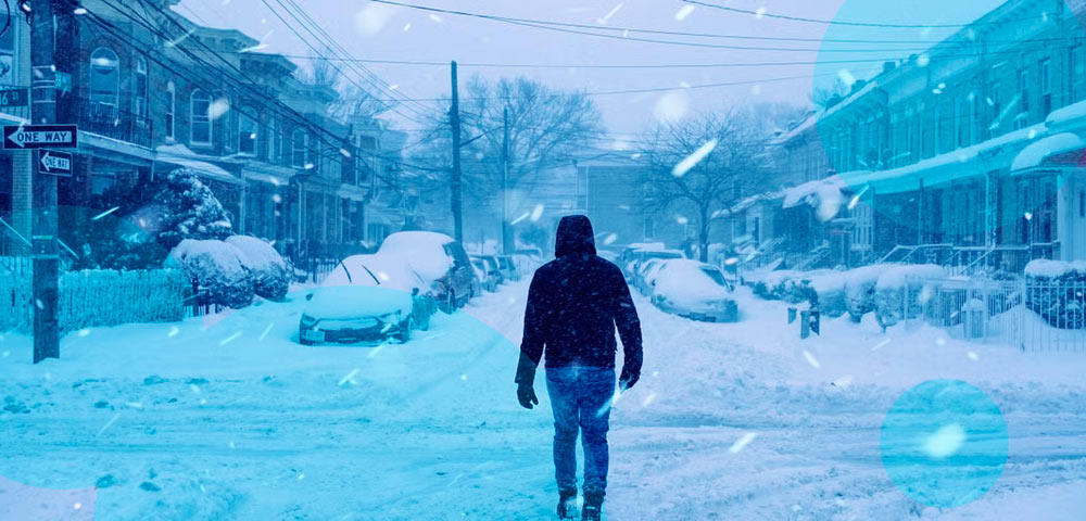
The Washington, DC, region illustrates how unpredictable snowfall can be during El Niño conditions.
Some events have coincided with substantial snowstorms, including the winter of 2009-10, when record-breaking snowfall severely disrupted the capital.
Major blizzards also affected the eastern United States in 2016. Other El Niño winters have been exceptionally snow-free. Washington recorded only 0.1 inches (0.25 cm) of snow during both 1972-73 and 1997-98.
Eastern Canada and the northeastern United States face a different challenge when winter temperatures rise.
Precipitation that would normally fall as snow may instead arrive as rain, potentially creating conditions favorable for freezing rain when temperatures near the surface remain sufficiently cold.
The Great Ice Storm of 1998 has been linked partly to El Niño-related atmospheric conditions.
Washington, DC, has experienced both exceptional snowstorms and almost snowless winters during El Niño years, demonstrating the limits of seasonal snowfall predictions.
Human-induced climate change adds further uncertainty because snowfall totals are declining overall in many locations as temperatures rise.
Could El Niño disrupt the polar vortex and trigger winter cold outbreaks?
Scientists are also examining whether the current El Niño could increase the likelihood of disruptions to the stratospheric polar vortex.
The polar vortex is a circulation of strong winds surrounding the North Pole during winter, typically located around 16-48 km (10-30 miles) above Earth’s surface.
Under normal conditions, this circulation helps contain very cold air over the Arctic. Occasionally, the vortex weakens or becomes disrupted, potentially affecting atmospheric circulation farther down.
Some research suggests that energy transferred into the atmosphere during El Niño can increase the probability of these disruptions.
El Niño may increase the likelihood of a weakened or disrupted stratospheric polar vortex, potentially allowing Arctic air to move southward across Canada and the United States.
When a disruption influences the lower atmosphere, it can weaken or alter the polar jet stream, creating opportunities for cold Arctic air to spread into midlatitude regions. This can produce periods of unusually cold weather and increase snowfall potential even during a winter that is otherwise forecast to be milder than average.
The relationship is far from certain, however. Not every polar vortex disruption affects surface weather, and the connection between El Niño and individual cold outbreaks remains difficult to establish.
A disrupted polar vortex does not automatically produce severe winter weather in North America, and scientists cannot reliably predict such outbreaks from El Niño conditions alone.
The eventual outcome of winter 2026-27 will depend on the combined effects of Pacific Ocean temperatures, jet stream behavior, regional weather systems and conditions in the stratosphere.
Current forecasts favor wetter conditions across southern North America and a warmer, drier winter farther north, but individual storms, snowfall events and cold outbreaks may differ substantially from those seasonal expectations.