Follow Beinsure
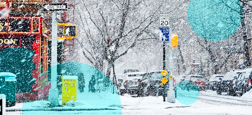
A large storm system drawing moisture from Hurricane Polo could bring up to 8 inches of snow, according to forecasts from the National Weather Service (NWS).
The snowfall would be among the earliest events of the season at Colorado’s highest elevations, arriving barely a week after the official start of fall.
Most of the storm’s precipitation will fall as rain, with a prolonged period of heavy rainfall expected across the southwestern and central United States. Forecasters warn of flooding from Arizona through the southern Plains and into the Midwest, as tropical moisture combines with another weather system moving across the western US.
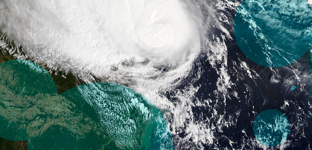
AccuWeather meteorologist Alyssa Glenny described the developing system as a hybrid storm because it combines moisture from the remnants of Hurricane Polo with a separate, sprawling weather system.
Polo has been affecting Mexico’s Pacific coast, while its residual moisture is expected to move into the southwestern United States and contribute to several days of precipitation.
The National Weather Service said Pacific tropical moisture would circulate into the storm over the Southwest, sustaining heavy rainfall across the region before precipitation extends into the southern Plains and Midwest.
Snowfall in Colorado is expected primarily above 11,000 feet, keeping most populated areas outside the zone where accumulating snow is forecast. Denver and surrounding lower-elevation communities should receive rain, while colder conditions at higher elevations create opportunities for early-season snowfall.
Farther south, the NWS office in Pueblo expected snow levels to remain above 12,000 feet during the storm. Several inches were possible across the highest peaks, where temperatures would be sufficiently cold for snow rather than rain.
The agency’s high-end snowfall projections show isolated areas receiving considerably larger accumulations. These maps represent an upper-range scenario rather than the most likely outcome, meaning the largest figures shouldn’t be interpreted as expected snowfall totals.
In southern Colorado, the Pueblo office’s high-end forecast indicates up to 8 inches of snow in portions of the Sangre de Cristo Mountains, including areas near Westcliffe and south of La Veta Pass toward Trinidad.
Similar projections from the Denver office indicate isolated locations west of the city could also receive as much as 8 inches under a higher-snowfall scenario.
The difference between expected accumulations and high-end projections is substantial. Current forecasts generally indicate lighter snowfall across the mountains, although isolated higher peaks have the potential for greater totals.
Snow represents a relatively small portion of the developing storm’s expected effects. Forecasters are more concerned about prolonged rainfall and flooding across the southwestern and central United States, especially in areas already saturated by recent precipitation.
The system was still developing on Tuesday with heavy rain expected to affect a broad area extending from Arizona toward Chicago over the following days.
AccuWeather said residual tropical moisture from two hurricanes would interact with another storm approaching from the west, increasing rainfall across several states.
Glenny warned that recent heavy rain had already saturated parts of the Southwest, making additional precipitation more dangerous. Wet ground reduces the capacity of soil to absorb new rainfall, increasing the potential for rapid runoff and flash flooding.
AccuWeather chief meteorologist Jon Porter said some locations in New Mexico could face their most serious flash-flooding threat in at least five years. His assessment concerned areas where additional heavy rain would arrive after earlier storms had already left the ground saturated.
The NWS also expects several days of rainfall across the southern Plains and Midwest as the system continues moving across the country. In southeastern Colorado, forecasters were tracking monsoon moisture capable of producing steady and occasionally heavy rain through Thursday morning.
Denver could experience more persistent rainfall during the same period. The 9NEWS Weather Impact Team reported that moisture moving into Colorado might also produce the state’s first substantial mountain snowfall of the season.
Although most Colorado communities will experience rain, snow at higher elevations could create difficult driving conditions along mountain roads. Monarch Pass, Wolf Creek Pass and La Veta Pass are among the routes identified in areas covered by the Pueblo weather service’s snowfall projections.
Wet snow could freeze on these roads overnight and during the early morning hours. Shaded sections and winding mountain roads might remain icy after sunrise, especially where temperatures stay below freezing.
Travel conditions will depend on actual snowfall amounts and temperatures at individual elevations. The highest snowfall projections are not the expected outcome across every mountain pass, and lower elevations are forecast to receive predominantly rain.
Colorado has already experienced some early-season snow. Accumulations were reported last week around Pikes Peak, Torreys Peak and Uncompahgre Peak, while Telluride Ski Resort and Wolf Creek Ski Area also reported fresh snow.
The approaching storm could produce additional mountain accumulations, although the NWS continues to forecast relatively limited amounts across much of the higher terrain.
Other western and northern states are experiencing early snowfall as temperatures decline at higher elevations. In Alaska, cooler conditions through midweek were expected to produce some of the first accumulations of the season, with up to 6 inches possible through Wednesday.
The NWS warned that heavy snow beginning night could create slippery travel conditions around Isabel Pass. Falling temperatures and accumulating snow were the primary concerns for motorists using the route.
Washington was also preparing for another round of mountain snowfall following several storms during the previous week. The NWS office in Seattle/Tacoma indicated that higher elevations, including Mount Baker, could receive up to 16 inches between Monday night and Wednesday.
These forecasts cover separate weather conditions across the western United States, with snowfall largely concentrated in mountainous areas. Colorado’s developing hybrid storm carries a different precipitation pattern, bringing widespread rain at lower elevations and snow mainly to its highest peaks.