Follow Beinsure

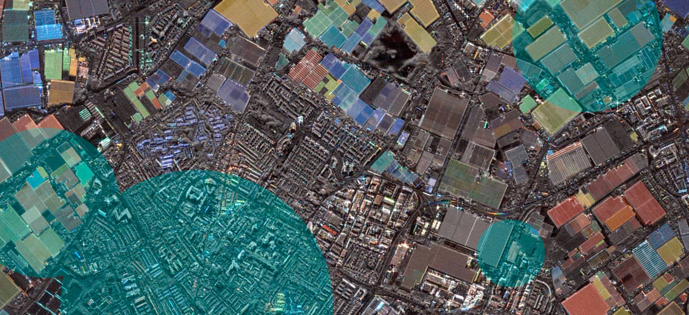
ICEYE has opened part of its synthetic aperture radar satellite archive to public access through an online data initiative. The collection includes selected imagery and videos captured from 2023 through 2026 and distributed through a publicly accessible Amazon S3 bucket.
The Finland-based satellite manufacturer and constellation operator specializes in SAR technology, which collects Earth observation data in conditions that restrict optical satellites. Its spacecraft operate through cloud cover, smoke and precipitation and collect imagery during both daytime and nighttime.
ICEYE’s highest-resolution products reach approximately 16 centimeters, according to the analysis of the company’s technology. Some satellites also produce short radar video sequences, extending the data beyond conventional still imagery.
The company was founded in 2012 by CEO Rafal Modrzewski and Pekka Laurila. ICEYE is headquartered in Espoo, Finland, and also operates offices in several European markets.
Its satellite fleet has expanded substantially since the first ICEYE missions. A GCAT satellite catalogue reviewed in the analysis lists dozens of ICEYE-operated or ICEYE-built spacecraft still in orbit, including satellites owned by government and military customers outside Finland.
Several additional spacecraft were deployed aboard SpaceX’s Transporter-16 mission on March 30, 2026. The launch included ICEYE-X71, X72, X74, X75 and X76, according to the satellite catalogue presented in the analysis.
ICEYE announced its open data initiative earlier in 2026. The public catalog gives researchers and developers access to selected radar products without requiring authenticated AWS access.
An analysis of the S3 inventory shows a substantial increase in published material during 2026. Files with identifiable 2026 capture dates totaled 2,610 through the available September records, compared with considerably smaller monthly volumes across much of 2023 and 2024.
August recorded 507 deliverables, the highest monthly total in the available 2026 data. May followed with 501, while April contained 480 and February had 383.
The public archive contains several delivery formats associated with individual satellite scenes. These include GeoTIFF imagery alongside GIF and MP4 products, while supporting files provide metadata and other geospatial information.
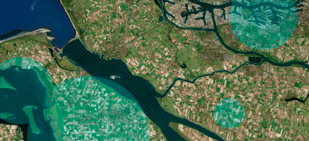
For 2026 captures, the analysis identified 720 GeoTIFF files through the available September data. It also counted 97 GIF files and 97 MP4 files over the same period.
Some GeoTIFF products are Colour Sub-Aperture Images, or CSI. These products divide longer radar observations into multiple color-coded components, helping analysts distinguish movement and certain man-made structures within SAR imagery.
The open files are suitable for geospatial analysis using standard data and mapping software. The source analysis used AWS command-line tools to retrieve the data, DuckDB to process metadata and QGIS to map image footprints.
Metadata accompanying each scene also makes geographic analysis possible without manually inspecting every image. Image footprints can be converted into polygons or centroids and stored in formats such as Parquet for larger-scale analysis.
The public feed gives researchers a direct way to examine a sample of ICEYE’s growing SAR archive. Its 2026 inventory includes radar imagery and video from a constellation that has continued adding spacecraft through multiple launches during the year.
In June, 2026, ICEYE has raised €450 mn in primary Series F funding led by General Atlantic, at a valuation above €10 bn. With a secondary placement included, the full Series F round exceeds €1 bn.
ICEYE owns and operates the world’s largest SAR satellite constellation, using synthetic aperture radar to monitor change anywhere on Earth.
Its systems support defence, intelligence, environmental monitoring, insurance, and emergency management customers that need fast observation data.
The company provides persistent monitoring capabilities designed to detect, verify, and respond to changes across the planet. That capability has become more valuable as governments seek sovereign access to satellite intelligence without waiting years for traditional space programmes.
In May 22, 2026, ICEYE has originated a €300 mn three-year committed revolving credit facility. The Helsinki-headquartered synthetic-aperture-radar satellite operator said the facility will support customer contract guarantees, operating growth, and liquidity.
Citi and Danske Bank acted as joint global coordinators and mandated lead arrangers. A seven-bank syndicate of Nordic, regional, and global banks provided the remaining commitment.
The facility follows a period of faster growth inside ICEYE. The company’s 2025 financial update described a year in which revenue, profitability, cash generation, and headcount scaled at the same time.