Follow Beinsure
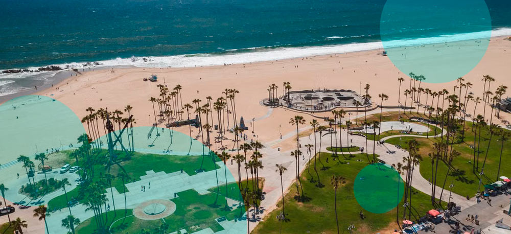
A large Kelvin wave moving through the Pacific is expected to raise sea levels along California by as much as 1 foot, adding to concerns over coastal flooding as a strong El Niño develops.
The phenomenon isn’t a conventional breaking wave. Kelvin waves span thousands of miles and move large volumes of warm water through the Pacific over weeks or months.
During El Niño, trade winds across the equatorial Pacific weaken or reverse. Warm water usually concentrated in the western Pacific then moves east toward South America. Once it reaches the continental boundary, part of the water turns north and travels along the coast toward Central America, Mexico and the U.S. West Coast.
- Kelvin wave, in oceanography, an extremely long ocean wave that propagates eastward toward the coast of South America, where it causes the upper ocean layer of relatively warm water to thicken and sea level to rise.
- Kelvin waves occur toward the end of the year preceding an El Niño event when an area of unusually intense tropical storm activity over Indonesia migrates toward the equatorial Pacific west of the International Date Line.
- This migration brings episodes of eastward wind reversals to that region of the ocean which spawn Kelvin waves.
- Although such intense tropical storms of the western Pacific are associated with the development of El Niño, they may occur in other years to produce Kelvin waves that also propagate eastward but continue poleward toward Chile and California.
NASA satellite observations have tracked unusually warm, elevated water moving east across the equatorial Pacific during 2026. Earlier measurements showed sea levels near Peru running more than 5.9 inches above long-term averages as a warm Kelvin wave reached South America.
The latest coastally trapped wave is moving north and is expected to affect California through the fall. Scientists estimate such waves raise coastal water levels by roughly 6 to 12 inches, with elevated conditions lasting for months.
NASA’s Jet Propulsion Laboratory explained that higher sea levels associated with the wave are visible along the equator. When the water reaches South America, it has nowhere farther east to travel and moves north and south along the coast.
When those winds weaken, the force keeping the water concentrated there falls away. The water then shifts back toward the eastern Pacific and eventually toward California. Scientists expect the current wave’s influence to continue through winter and into early 2027.
Kelvin waves have existed for thousands of years and are a routine part of Pacific ocean circulation. The problem for California is the baseline from which this year’s increase is occurring.
Long-term sea-level rise has already pushed coastal water levels higher. El Niño adds a temporary increase on top of that background trend, leaving low-lying areas more exposed when high tides, large waves or storms arrive at the same time. The California Coastal Commission said rising seas allow storm impacts and flooding to reach farther inland.
The 2026-2027 El Niño is continuing to strengthen. NOAA forecasts cited by the California Coastal Commission put the probability of the event developing beyond previous El Niño strength measured since 1950 at about 69%. NOAA’s California Current assessment gives a greater than 90% chance of a very strong El Niño during November 2026 through January 2027.
Separate research based on almost 1,000 years of coral records from the Galápagos found recent El Niño events have become stronger than those seen during much of the pre-industrial period. This year’s event is already forecast among the strongest measured in the modern observational record.
For California, the concern is less about the Kelvin wave acting alone than what happens when elevated ocean levels coincide with winter weather.
El Niño often brings larger waves and stronger coastal storms to California. Add a higher starting sea level, then a storm surge or extreme tide reaches farther inland.
California’s highest predicted tides are scheduled for November 24-26, December 23-25 and January 21-22. The California Coastal Commission said the combination of Kelvin waves, El Niño conditions and winter storms means actual water levels could exceed normal tide predictions.
Past strong El Niño winters offer a reference point. The 1982-83, 1997-98 and 2015-16 events produced substantial coastal damage in parts of California, including beach erosion and flooding.
The 2015-16 El Niño was among the strongest in the modern record and generated exceptionally large waves along the West Coast. Researchers expect the 2026-27 event to bring unusually warm coastal waters and an increased risk of damaging winter conditions.
Governor Gavin Newsom declared a state of emergency on September 21 to mobilize resources before expected El Niño-related storms and coastal flooding. The order directs state agencies to prepare vulnerable infrastructure and stage equipment in areas exposed to flooding and winter weather.
Caltrans is positioning road-closure and snow-removal equipment along exposed highways. The California National Guard is being prepared for flood response and search-and-rescue operations if required, while state agencies have been directed to speed up emergency preparations and permitting.
The California Coastal Commission is also urging coastal property owners to inspect areas exposed to flooding or erosion before winter. Residents are being advised to check drainage and deal with existing vulnerabilities before major storms arrive.
Kate Huckelbridge, executive director of the commission, said experience from previous El Niño events shows the timing of storms against high tides has a major effect on losses. A storm reaching the coast during an extreme high tide produces a different exposure than the same storm arriving around low tide. That timing will matter more this winter if the Kelvin wave keeps coastal sea levels elevated for several months.
The extra water does not mean every California community will flood. Nor does El Niño guarantee a specific storm pattern in any individual location. NOAA’s forecasts describe a higher-risk environment rather than a prediction of one particular disaster.