- Louisiana officials are urging residents to review homeowners and flood insurance, check storm deductibles and document property before Tropical Depression Two reaches the Gulf Coast.
- Southeastern Louisiana faces possible heavy rain, gusty winds, coastal flooding and storm surge from Wednesday into early Thursday.
- The National Weather Service expects the strongest coastal impacts east of the Mississippi River, with 2 to 4 feet of inundation possible and tropical-storm-force gusts likely in parts of Plaquemines Parish.
Louisiana Insurance Commissioner Tim Temple is urging residents to check their insurance cover and prepare their homes as Tropical Depression Two moves toward the northern Gulf Coast. Forecasters expect the system to strengthen into Tropical Storm Bertha.
The system is expected to organise gradually before moving westward along the Gulf Coast. Southeastern Louisiana faces the risk of heavy rain, gusty winds and coastal flooding.
Temple said that Louisianans should keep watching the forecast and take steps to get insurance ready, regardless of how the storm develops.
He urged residents to trim trees, clear gutters and storm drains, secure outdoor furniture and review emergency plans before weather conditions worsen.
The Louisiana Department of Insurance also recommends reviewing homeowners and flood insurance policies before the storm arrives. Deductibles deserve close attention.
Named storm and hurricane deductibles often range from 2% to 5% of a home’s insured value. A homeowner with a $200,000 insured home and a 3% hurricane deductible would pay the first $6,000 of covered damage before insurance benefits start.
The National Weather Service has issued Tropical Storm and Storm Surge watches for parts of Louisiana’s immediate coast east of the Mississippi River’s mouth, including eastern Orleans Parish. Forecasters said watches might expand as the forecast changes.
Forecasts call for sustained winds near 50 miles per hour at peak intensity. Tropical-storm-force wind probabilities stand at 40% to 50% across southern Plaquemines Parish, with lower odds elsewhere in southeast Louisiana.
Gusts might bring down tree limbs, damage awnings and cause isolated power outages.
Storm surge remains one of the main coastal risks. The National Weather Service forecasts 2 to 4 feet of inundation above ground level east of the Mississippi River and 1 to 3 feet elsewhere along the Louisiana coast. Low-lying roads, marinas and beaches face the greatest exposure, with moderate beach erosion also possible.
Rainfall totals depend heavily on the storm’s eventual track. Most areas north of the Interstate 10/12 corridor are expected to receive less than an inch of rain.
Louisiana’s immediate southeast coast might receive 2 to 5 inches, with isolated flooding possible where heavier rain bands form. Forecasters said the storm is expected to stay lopsided, with most rain and strongest winds remaining south of the center over the Gulf.
The weather service also warned residents about another risk: extreme heat. Heat index values between 107 and 111 degrees are expected Monday and Tuesday. Dangerous heat might continue into midweek if cloud cover and rainfall stay limited north of the storm’s center.
Insurance officials recommend documenting homes and belongings with photos or video before the storm arrives. Residents should keep insurance policies and agent contact information available in case evacuation becomes necessary. They should also save receipts for temporary repairs if damage occurs.
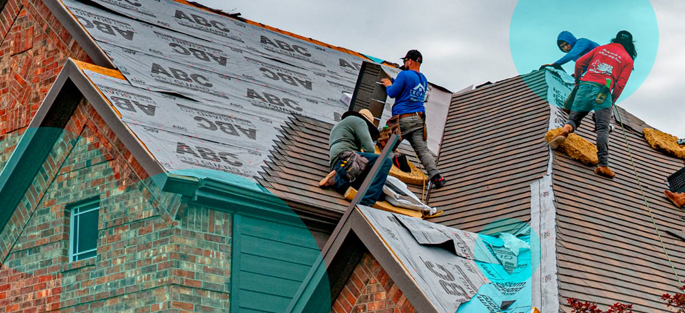
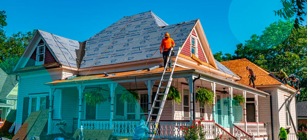
After damage, residents should contact their insurer immediately, photograph property before cleanup and take reasonable steps to prevent additional loss. Temporary work includes covering damaged roofs with tarps or boarding broken windows.
The National Weather Service said confidence is moderate that southeastern Louisiana will see tropical-storm-force wind gusts, minor to moderate coastal flooding, isolated flooding from heavy rain and dangerous marine conditions during the middle of the week.